


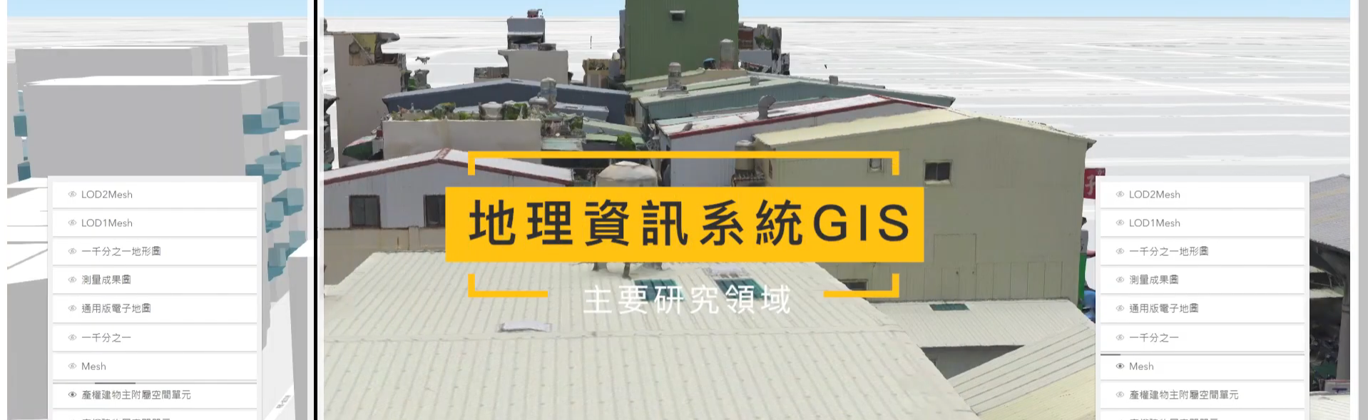

Research Areas
Geomatics department provides three major research areas: Satellite Positioning & Geodesy, Remote Sensing & Photogrammetry, Geospatial Information Science. The most representative example for each of these areas are: Global Positioning System (GPS), Remote Sensing, (RS) and Geographical Information Systems (GIS) and therefore, abbreviated to 3S (GPS, RS, GIS). The relative disciplines and applications include:
- Satellite Navigation
- Geodesy
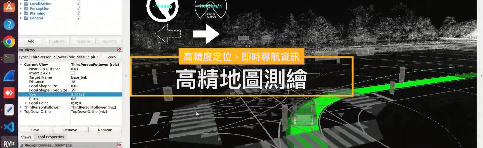
- Global Positioning System
- Global Navigation Satellite Systems
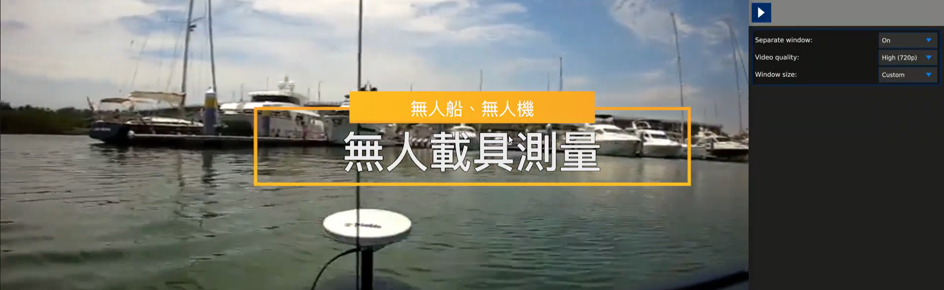
- Surveying Engineering
- Navigation
- Remote Sensing
- Aerial and Close-range Photogrammetry
- Aerial and Ground-based LiDAR
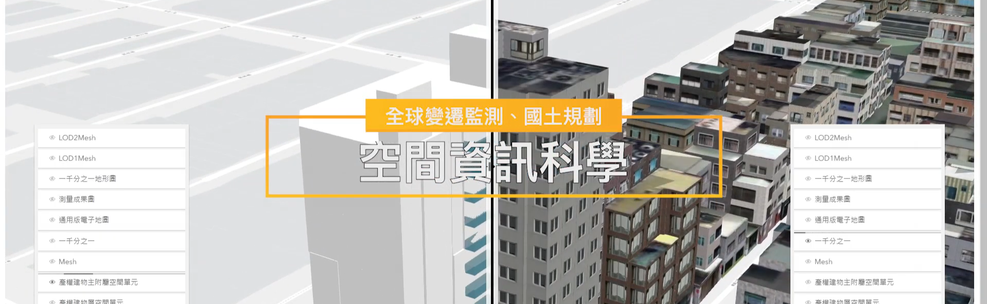
- Cartography
- Cyber City
- Geographical Information Systems
- Geospatial Information Science
- Computer Graphics
- Earth Science
- Environmental Science