


研究領域
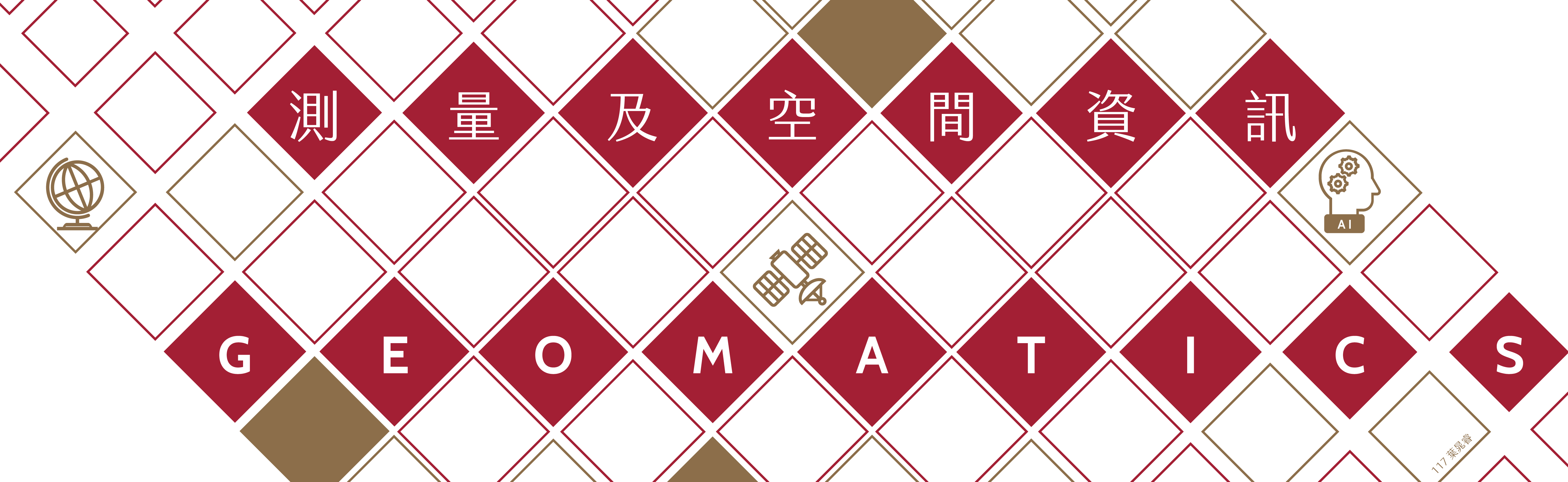
本系的傳統專業是國土測量及地圖繪製,近年隨著空間資訊科技(Geospatial Technology)的快速發展,本系的研究範疇也擴充成為完整涵蓋空間資訊的收集、分析、解讀、管理、以及應用。依照專業的相關性可分為三個領域:衛星定位及大地測量 (Satellite Positioning & Geodesy)、遙感探測及攝影測量 (Remote Sensing & Photogrammetry )、以及空間資訊科學 (Geospatial Information Science)。這三個領域分別具有一個代表性的現代科技:全球定位系統 (Global Positioning System, GPS)、衛星遙測 (Remote Sensing, RS)、以及地理資訊系統 (Geographical Information Systems, GIS),通稱為3S (GPS, RS, GIS) 科技。與本系研究領域相關的學科和應用包含:
-
衛星導航 Satellite Navigation
-
大地測量 Geodesy
-
全球定位系統 Global Positioning System
-
全球導航衛星系統 Global Navigation Satellite Systems
-
測量工程 Surveying Engineering
-
導航學 Navigation
-
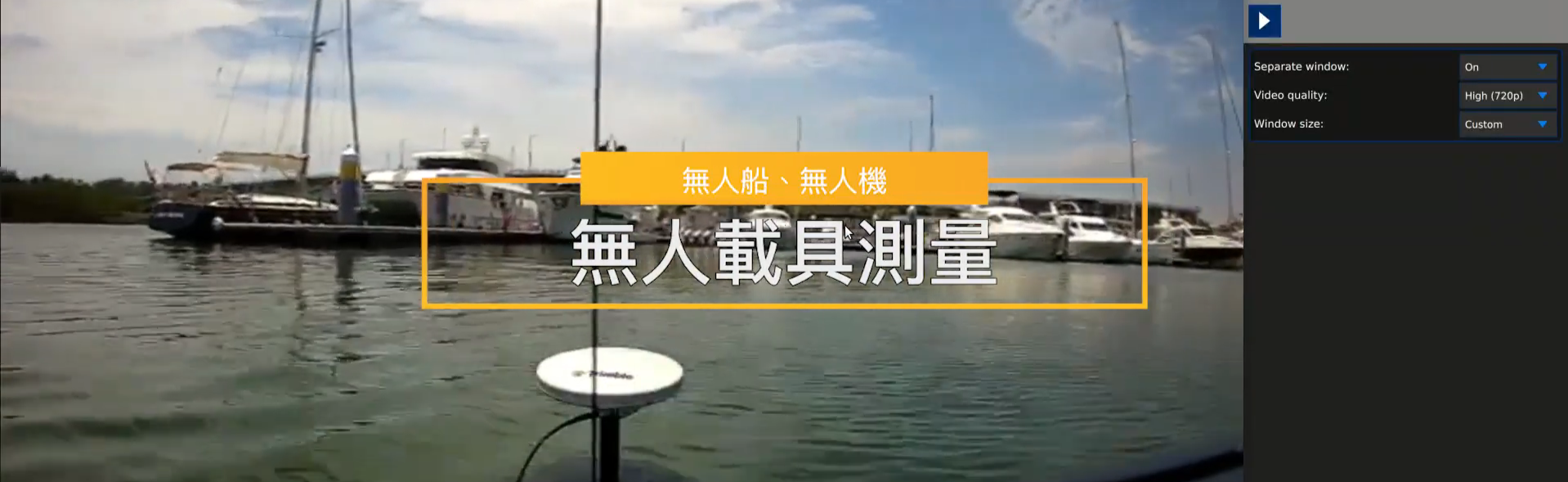
衛星遙感探測 Remote Sensing
-
航空與近景攝影測量 Aerial and Close-range Photogrammetry
-
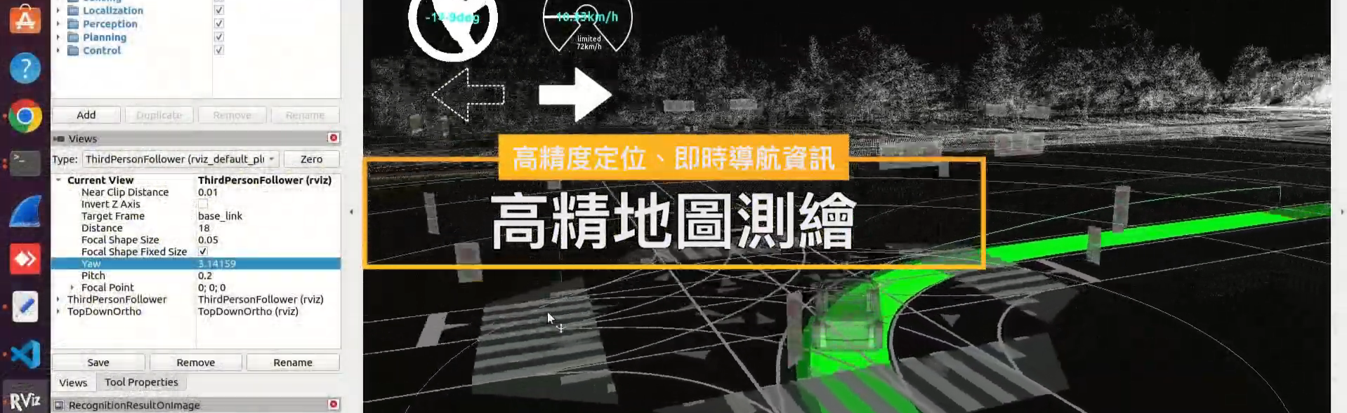
航空與地面光達雷射掃描 Aerial and Ground-based LiDAR
-
製圖學 Cartography
-
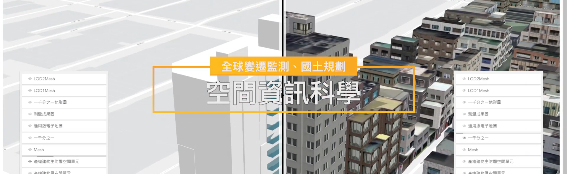
數碼城市 Cyber City
-
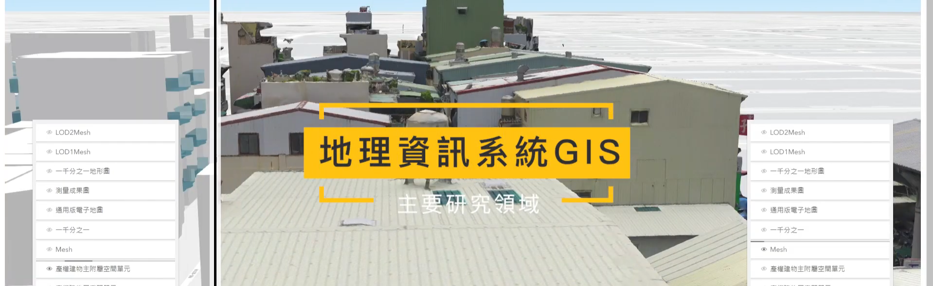
地理資訊系統 Geographical Information Systems
-
空間資訊科學 Geospatial Information Science
-
計算機圖學 Computer Graphics
-
地球科學 Earth Science
-
環境科學 Environmental Science